Transcription
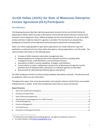
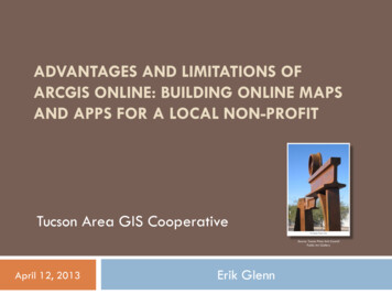
ADVANTAGES AND LIMITATIONS OFARCGIS ONLINE: BUILDING ONLINE MAPSAND APPS FOR A LOCAL NON-PROFITTucson Area GIS CooperativeSource: Tucson Pima Arts CouncilPublic Art GalleryApril 12, 2013Erik Glenn
Presentation Outline BackgroundNeeds of ProjectAvailable OptionsWhy ArcGIS Online?Existing Data/AttributesData/Attributes to beCreatedMethodsResults of ProjectConclusions
Background Internship with TucsonPima Arts Council in2012 Contact:Rex Gulbranson Our Town grant proposalincluded cultural assetmapping piece As part of project,desire for Web map
Needs of Project Originally, Webcomponent for allother Our Town mapsDue to difficulties: Decisionmade tocreate Web mapshowing artsattractions alongModern Streetcarroute
Needs of Project Easily updated bynon-technical staffAbility to convertspreadsheet data,.gpx files easilyIf possible, share onmultiple platformsLow-cost (free, ideally)Short developmenttime
Needs of Project Five categories ofattractionsShow arts areas withindistinct bordersInclude WarehouseHistoric DistrictboundaryConfigurable pop-upsthat link tomore information, or TPAC public art gallery
Available Options Considered Create customized Google MapCustom app using .kml filesEveryTrail or similarOpen Source solutionArcGIS Online
Why ArcGIS Online? Time required to implementCost Free for personal accounts!CompatibilityEase of updating by non-technical staff Shapefiles .csv and .gpx filesCan embed in current Website, consume withbrowser, share through social media Later:could create better Web/mobile apps toconsume same map
Why ArcGIS Online? Cloud storageSomewhat better symbology/popup/transparency/legend optionsSeveral basemap optionsAbility to customize further if neededScalable
Concerns/Limitations No labeling! (with free version, anyway )Limited built-in symbology options Colors, shapes, line typesLimited supported data typesSomewhat limited pop-up configurations (again,without custom app)Graphics, including custom point symbols, needpersistent URLHarder to create great experience for all platforms
Existing Data/Attributes Warehouse Historic DistrictModern Streetcar routeStaff ideas aboutdelineation of arts areasMost public art info. indatabase/spreadsheetPublic art images &details hosted on TPACWebsite
Data/Attributes to be Created Manual creation of arts areas geometrySeparation of arts attractions into five feature classesCreation of new arts attractions Addresses, orCoordinatesQC/manual updates of arts attraction locations andattributes
MethodsCreate account Update attributes/add fields for links Edit point features using heads-up digitizing Web Mercator projection/ArcGIS Online scales Design for different scales Create new feature classes for labels Labelat each scale Create annotation feature classes Feature Outline Masks to convert to feature geometries
MethodsCreate multiple buffers of arts area polygons Convert all features to shapefiles Zip and upload to ArcGIS Online Choose basemap, basemap options For features, set: Symbology Visibilityranges Transparency Legend visibility Pop-ups
MethodsShare Web map Export .html code Create Web app from available templates Publish and share app
Project Results Draft Web map producedModifications made based on staff feedbackFinal Web map and Web app produced andhosted on ArcGIS OnlineLinks, code for embedding, downloadable appsprovided to staffStaff training manual createdStaff training exercise conducted
Web Map Demonstration
Web App Demonstration
Final Embedded Version
Potential Future Customizations Publish hosted feature servicesEditable layersCustomized point symbols (with graphics files)Different pop-upsCustomized Web apps (Javascript, Flex, Silverlight)with additional graphics, widgets (e.g. search), toolsCreation of Mobile apps (iOS, Android, WindowsMobile, Windows 8) Couldeven use service like EveryTrail to consume/share.kml version
ArcGIS Online Developments/Other Considerations ESRI Nonprofit Organization Program ArcGISOnline: 1,250/year for 5 users and 2,500credits OR low-cost copies of Desktop and/or Server
ArcGIS Online Developments/Other Considerations Developer licensing/pricing for ArcGIS OnlineOpen sourceAmazon Web Services or other cloud/hostedsolution***Will be required to utilize own Bing Maps key infuture***
Conclusions Free version of ArcGIS Online isn’t top-of-the-lineMaking medium-quality maps for ArcGIS Online canoften take more effort than expectedHowever, it works well for organizations looking forWeb mapping capabilities, but that don’t haveMoney Time Technical expertise It also is 1) customizable and 2) extensibleQuestions?
Draft Web map produced Modifications made based on staff feedback Final Web map and Web app produced and hosted on ArcGIS Online Links, code for embedding, downloadable apps provided to staff Staff training manual created Staff training exercise conducted
