Transcription
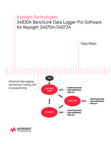
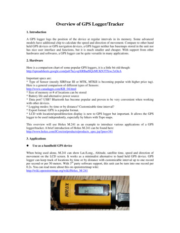
Overview of GPS Logger/Tracker1. IntroductionA GPS logger logs the position of the device at regular intervals in its memory. Some advancedmodels have additional chip to calculate the speed and direction of movement. Compare to other handheld GPS devices or GPS navigation devices, a GPS logger neither has basemaps stored in the unit norhas nice user interface and functions, but it is much smaller and cheaper. With support from otherhardwares and softwares, a GPS logger can be quite versatile in many applications.2. HardwareHere is a comparison chart of some popular GPS loggers, it is a little bit old though:http://spreadsheets.google.com/pub?key pXRBadSQxMUKN3TXwc3zOeAImportant specs are:* Type of Sensor (mostly SIRFstar III or MTK, MTKII is becoming popular with higher price tag).Here is a general comparison of different types of Sensors:http://www.canadagps.com/KB 04.html* Size of memory or # of locations can be stored* Battery life and alternative power source* Data port? USB? Bluetooth has become popular and proven to be very convenient when workingwith other devices.* Logging modes: by time or by distance? Customizable time interval?* Export format: GPX is a popular format.* LCD with location/speed/direction display is new to GPS logger but important. It allows the GPSlogger to be used independently, especially by hikers with Topo maps.This overview will use Holux M.241 as an example to introduce various applications of a GPSlogger/tracker. A brief introduction of Holux M.241 can be found ts spec.jsp?pno 3413. ApplicationszUse as a handheld GPS deviceWhen being used alone, M.241 can show Lat./Long., Altitude, satellite time, speed and direction ofmovement on the LCD screen. It works as a minimalist alternative to hand held GPS device. GPSlogger can keep track of locations by time or by distance with customizable interval up to one recordper second or per 50 meters. With 3rd party software support, this unit can be turn into one record per0.2s. You can read more about this on openstreetmap wiki:http://wiki.openstreetmap.org/wiki/Holux M-241
(From OpenStreet Wiki: http://wiki.openstreetmap.org/wiki/Holux M-241)zUse as a GPS navigation toolWith Bluetooth, M.241 can be easily connected to popular smart phones or other handheld devicessuch as ipod touch, and turns them into something similar to a GPS navigation tool. The sensitivity ofthe independent GPS logger usually outperforms those embedded GPS units in the handheld device.But in order to have full navigation functionality, you need to purchase navigation software likeTomtom, Navigon for iPhone/iPad/iTouch or Garmin Mobile for Blackbarry. There are also some freeopen source programs coming, such as xGPS project (http://xgps.xwaves.net/index.php/Main Page).zUse as a mapping tool with desktop GISM.241 can be connected to a computer through USB or Bluetooth.It will transfer location info toprograms that support GPS. For example, ArcGIS has a GPS toolbar that can log GPS readings into alinear or point shapefile directly. This means it can turn any laptop into a mobile GIS platform forserious field work.Note: It seems that ArcGIS can only receive GPS info through COM1 or COM2. So user needs tomodify port setting in system management in order to use external GPS properly in ArcGIS.
z Use as a GPS logging toolM.241 can store 100,000 location points with Lat/long, direction, speed, altitude, date, time info.Holux provides a program on Windows that can read all the info from M.241 memory and write intoGPX/TXT/KML file.M. 241 is also among a few GPS devices that have good support on MAC and Linux thanks to built-inBluetooth and GPSBabel project (http://www.gpsbabel.org/).
Google Earth can read GPX log file directly and display both waypoints and tracks.Because of popularity of GPS equipped smart phones, there are programs on mobile phones that canrecord locations into GPX file, for example Trails on iphone (http://trails.lamouroux.de/)z Use as a geotagging toolThe program that HOLUX provides can geotag photos taken during a trip. On windows, there someprograms such as geotag (http://geotag.sourceforge.net/) that has more functionalities.On MAC, there is free GPSPhotoLinker and other programs available for geotagging.GPSPhotoLinker is able to write location info directly into photos’ EXIF, and supports both JPG andRAW files from different cameras. User can choose geotagging method as “nearest recorded point” or“time weighted point”. If there is discrepancy between satellite time from GPS and photo time fromcamera, the program also allows user to shift time.
Use as a handheld GPS device . When being used alone, M.241 can show Lat./Long., Altitude, satellite time, speed and direction of movement on the LCD screen. It works as a minimalist alternative to hand held GPS device. GPS logger can keep track of locations by time or by distance with customizable interval up to one record per second or per 50 .