Transcription
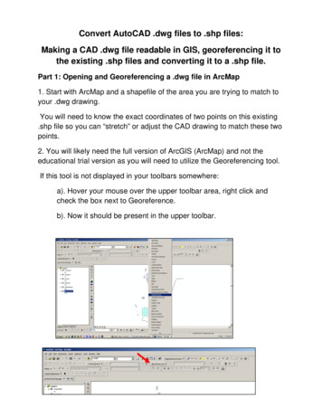
Convert AutoCAD .dwg files to .shp files:Making a CAD .dwg file readable in GIS, georeferencing it tothe existing .shp files and converting it to a .shp file.Part 1: Opening and Georeferencing a .dwg file in ArcMap1. Start with ArcMap and a shapefile of the area you are trying to match toyour .dwg drawing.You will need to know the exact coordinates of two points on this existing.shp file so you can “stretch” or adjust the CAD drawing to match these twopoints.2. You will likely need the full version of ArcGIS (ArcMap) and not theeducational trial version as you will need to utilize the Georeferencing tool.If this tool is not displayed in your toolbars somewhere:a). Hover your mouse over the upper toolbar area, right click andcheck the box next to Georeference.b). Now it should be present in the upper toolbar.
3. Add the .dwg file just as you would add any other .shp file.You will get a message box that tells you that you can add the drawing, butit is not projected. Click OK.4. Go to the Layer tool (of the Georeferencing toolbar) and select thepolyline, point or polygon option in the drop down menu. (This selectiondepends on what you are georeferencing. In this tutorial we are workingwith polygons.)
5. In the ArcMap Layers display, select your .dwg file. Make sure your mapis zoomed to about the area where you want to fit your .dwg file.In the Georeferencing toolbar, select Fit to Display.This will bring the .dwg immediately over the existing .shp file, though theywill not match up yet but at least you can see it's in the neighborhood.Now you are ready to georeference the .dwg file.
6. Click on the icon in the Georeferencing toolbar that has two little x’s, onegreen and one red connected by a small line.You will use this tool to match two points on the .dwg with two points on the.shp file.7. In this tutorial there is a shapefile with two points that correspond withtwo corner points of polygons on the .dwg file.Once you select the tool, your mouse will be a crosshair:a).Click on the first point to line up on the .dwg layer.b).Click on the point that matches on the shapefile.(Zoom in and pan as needed to get more accurate with selectingthese points.)
c). Repeat this with the other points. Ideally, you would do this for twoor more points at opposite corners of the drawing. Less than two canwarp or distort the CAD drawing and reduce the accuracy.8. Once you have all your points selected with the crosshair tool, select“Update Display” from the Georeferencing dropdown list.
9. You may want to zoom in on the points you used to align the CAD fileand insure they are lined up. Repeat steps 6-8 until you are satisfied withthe alignment of your .dwg with the rest of your .shp files.Note: You will notice on the example thatArcMap imported all the layer types that existedon the .dwg file. If there are layers you do notwant, click on the box with a plus sign next to the.dwg listing in the ArcMap Layer display.Uncheck the CAD layers you do not want. In thiscase, the Annotation layer includes the text fromCAD. Uncheck to turn off the text.
Part 2: Convert a .dwg file to a .shp file.1.Right click on the layer within the .dwg file you want to convert.Select “Data”. Select “Export Data”.2. In the “Export Data” window, the default to Export is “All Features”. Youshould not have to change any of the other settings except for a place tosave the new file.Select the folder icon.
Browse to where you want to save the new shapefile.Name the shapefile. Select Save.Select OK in the “Export Data” window.3. A window will open to ask if you would like to add the exported data tothe map as a layer. Select Yes.
Your new shapefile will open onto the map. Now you may remove the .dwgfile from the Layer display.
Convert AutoCAD .dwg files to .shp files: Making a CAD .dwg file readable in GIS, georeferencing it to the existing .shp files and converting it to a .shp file. Part 1: Opening and Georeferencing a .dwg file in ArcMap 1. Start with ArcMap and a shapefile of the area you are trying to match to your .dwg drawing.