Transcription
Drone Operation andDrone Data AnalysisWing CheungAssistant Director, GeoTech CenterPI, UASTEP ProgramProfessor, Palomar Collegewcheung@palomar.eduBased upon work supported by the National Science Foundationunder Grant DUE ATE 1304591 and 1700552. Any opinions,findings, and conclusions or recommendations expressed in thismaterial are those of the author(s) and do not necessarily reflectthe views of the National Science Foundation.Empowering Colleges:Expanding theGeospatial Workforce
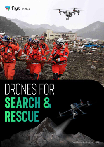
IMAGINE SEE THE POSSIBILITIES
Northern California Fires
Types of Drone Operation Public operation– Local, state, federalgovernment– Certificate of authorization(COA)– Part 107 remote pilot license Civil operation– Commercial Businesses, Educators (flight training) Part 107 remote pilot license Register each aircraft– Recreational Hobbyists, Educators (outreach, alliedfields) Don’t need remote pilot license Must operate under community basedsafety guideline Register pilot
Civil Operation Regulations under Part 107RequirementsCommercialRecreationalRegistration Register each aircraft Register pilotPilot At least 16 year old to get license Must pass Part 107 initial aeronauticalknowledge test (at least 14 years old) Vetted by Transportation SafetyAdministration At least 13Operating Aircraft must be less than 55 lbsVisual line of sightUnder 400 feetDaylight operation onlyFly slower than 100 mphDo not fly over people, emergencies, or sporting eventsResearch airports and airspace
Starting a Drone/UAS Program? Things to consider:– Liability issues– Area(s) of focus– Campus Policies– Local regulations– Hardware (UAV, Sensor), SoftwareImage source: http://velodynelidar.com/vlp-16.html
DRONE DATA ANALYSIS
Image source: /
Examples of Drone Sensor/Camera1. Passive: Color (RGB) camera2. Passive: Thermal infrared sensor (FLIR Duo R)3421Image modified by Wing Cheung, Original image: ectrum1.html3. Passive: Multispectral sensor (RedEdge)4. Active: LiDAR (Velodyne Puck)
UNSUPERVISED CLASSIFICATION WITHDRONE MULTISPECTRAL DATA
Application
ConceptAutomated grouping and classification of similar pixels intodistinct classes
Exercise #1 Download instructions and data at:http://bit.ly/uastep1401
ASSESSING VEGETATION HEALTH WITHDRONE MULTISPECTRAL DATA
Application
Concept Normalized DifferenceVegetation Index(NDVI) (NIR-RED)/(NIR RED) Healthy: absorbs RED,reflects NIR Other indices (Hunt et al.,2013)Image source: panama/panama ex2.php
Exercise #2 Download instructions and data at:http://bit.ly/uastep1402
CREATING DIGITAL HEIGHT MODELWITH LIDAR AND POINT CLOUD DATA
Application
ConceptThe ‘magic’ of photogrammetryImage source: Austin Mason (Carleton College), Jay Cassano (Fast Company)
Exercise #3 Download instructions and data at:http://bit.ly/uastep1403
About UASTEPUnmanned Aircraft System operations Technician Education Programwww.uastep.orgObjective: Prepare qualified UAS operators andentrepreneur for the workforce Academic Programs (Certificate, Associate’s Degree)Professional Development WorkshopsBusiness Competencies and Internships for StudentsSummer Academies and Outreach
*Not an actual service*Wing CheungAssistant Director, GeoTechhttp://www.geotechcenter.org/Principal Investigator, UASTEPwww.uastep.orgProfessor, Palomar Collegewcheung@palomar.eduThank you!
Civil Operation Regulations under Part 107 Requirements Commercial Recreational Registration Register each aircraft Register pilot Pilot At least 16 year old to get license Must pass Part 107 initial aeronautical knowledge test (at least 14 years old) Vetted by Transportation Safety
