Transcription
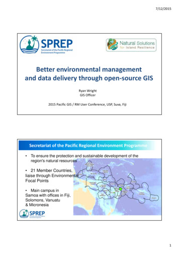
7/12/2015Better environmental managementand data delivery through open‐source GISRyan WrightGIS Officer2015 Pacific GIS / RM User Conference, USP, Suva, FijiSecretariat of the Pacific Regional Environment Programme To ensure the protection and sustainable development of theregion's natural resources 21 Member Countries,liaise through EnvironmentalFocal Points Main campus inSamoa with offices in Fiji,Solomons, Vanuatu& Micronesia1
7/12/2015GIS within SPREPo Originally, 1 grown to 4 GIS Users in last 2 yearso Providing GIS Support to: Biodiversity and Environmental Management Marine Spatial Planning, Rapid Bio Assessments, Endangered Species Pollution and Waste Asbestos, Medical, E‐waste, Shipping (inc. Pollution events) Environmental Monitoring and Governance Environmental Impact Assessments, State Of Environmental Reporting Climate Change Ocean Acidification, Sea Level RiseGIS within SPREP (2)o Develop online spatial portal to disseminate spatialdata Back end – reduce software & infrastructure costsFront end – minimal GIS knowledge required tooperateReplicatable across region (on and offline instances)o Promote use of open‐source desktop GIS software tomembers to build capacity inconsistent or no financing for proprietary GIS2
7/12/2015Marine Spatial Planning Programs w SPREPMarine and CoastalBiodiversity ManagementCompletedBIORAPRapid Biodiversity Assessment(Tonga and Nauru)Biodiversity andProtected AreasManagement ProgrammeCompletedEPOGGEF‐5Enhancing PacificOcean GovernanceGlobal Environ. FacilityRidge to Reef KiribatiCompletedEBSAEcologically or BiologicallySignificant Marine AreasPacific Ocean EcosystemAnalysisAs the regional environmental agency, SPREP coordinates and facilitates Marine Spatial Planning activities across the region taking directionfrom Pacific Island Members’ prioritiesSupporting FrameworksThe vision: "Living in Harmony with Nature" where "By 2050,biodiversity is valued, conserved, restored and wisely used,maintaining ecosystem services, sustaining a healthy planet anddelivering benefits essential for all people." Pacific Island Leader Endorsed Framework Action 3B – ‘explore and build marine spatial planningmechanisms for improved EEZ management to achieveeconomic development and environmental outcomes’Goal 14. Conserve and sustainably use the oceans,seas and marine resources for sustainabledevelopment3
7/12/2015AnalysisAnalysis4
7/12/2015AnalysisAnalysis5
7/12/2015AnalysisAnalysisPOST 1/1/2015?6
7/12/2015AnalysisAnalysis7
7/12/2015AnalysisAnalysis8
7/12/2015Open‐Source Spatial Data InfrastructureOpen‐Source Spatial Data Infrastructure9
7/12/2015Open‐Source Spatial Data InfrastructureEnvironmental Spatial Information Service (http://gis.sprep.org) Open Access Regional GIS Database Open‐source components Replicatable (intranet, internet) Usability SecureOther InstancesMsp.csiro.au10
7/12/2015WMSQGISEmbedded11
7/12/2015Other Spatial Capacity Building Exercises QGIS (www.qgis.com) training: Environment and Fisheries Division (Samoa) Next year: Fisheries (Nauru), More Div MNRE (Samoa) GPS Training: Kiribati (Environment and Conservation Division) Tonga (Ministry of Environment and Climate)THANK YOUThank you12
o Promote use of open‐source desktop GIS software to . Open‐source components Replicatable (intranet, internet) Usability Secure Other Instances Msp.csiro.au. 7/12/2015 11 WMS QGIS Embedded. 7/12/2015 12 Other Spatial Capacity Building Exercises