Transcription
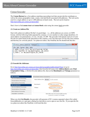
More About Census GeocoderFCC Form 477Census GeocoderThe Census Bureau has a free address-matching (geocoding) tool that can provide the coordinates aswell as the census geographies (state, county, tract and block) associated with addresses. The tool can beused for a single address or up to 1,000 addresses in batch mode. The tool can be found �s how to find census tract and census block codes using the census batch geocoder.(1) Create an Address FileStart with a plain-text address file that’s in good shape – i.e., all the addresses are correct, in USPSformat, with the following fields separated by commas: (1) row number (or other unique identifier), (2)street address (no punctuation), (3) city, (4) state, (5) ZIP. The geocoder will separate each row of yourfile into five parts based on the placement of the commas, so be sure that each row has only four commasand that they are correctly placed. In a plain text editor, like NotePad, the file should look like this:(2) Geocode the AddressesGo to es/addressbatch?form (or go tohttp://geocoding.geo.census.gov/geocoder/, then from the left menu click Address Batch under FindGeographies Using ), browse for your address file, then set the Benchmark and Vintage parameters asfollows:When you click Get Results, the geocoder will generate a CSV (comma-separated values) file (calledGeocodeResults.csv) and open a dialog box that allows you to open or save the file. If you open the filein a plain-text editor like NotePad, it will look like this:Modified 11/18/2021 11:17 AMPage 1 of 5
More About Census GeocoderFCC Form 477(3) Open the Output File in a Spreadsheet ProgramSince the output CSV file is not terribly helpful in the format above, the easiest way to deal with it is toopen it in Excel or another spreadsheet or database program that will place the comma-separated valuesinto columns and allow you to concatenate the values in the 3 or 4 right-most columns into census tract orblock codes using the guidance below. Exercise caution here. If you simply double-click the file to openit in Excel, for instance, Excel will make assumptions about the structure of the file that aren’t alwaysaccurate. It’s important to use these steps to import the data to Excel: Open Excel with a blank sheet.Click Data on the ribbon.Click From TextNavigate to the geocoder’s output CSV file on your file system, select it, then click ImportThis will open the Import Wizard, the first step of which will appear like this: Click Next (Excel has already figured out that these are Delimited data)On Step 2, check the box next to Comma for the delimiter and make sure Excel properlyseparates the fields like so:Modified 11/18/2021 11:17 AMPage 2 of 5
More About Census Geocoder FCC Form 477Click Next to go to Step 3The last 4 fields are the codes for the state, county, tract and block. They must be imported asTEXT or you will lose the leading zeros and render the codes invalid. Change the data typeto Text from General for these fields by clicking on the field, then clicking Text under Columndata format:Modified 11/18/2021 11:17 AMPage 3 of 5
More About Census Geocoder FCC Form 477Click Finish, then OK.You should get a workbook that looks like this:To generate the complete census tract code for each address: In cell M1, type in the following: I1&J1&K1. This will concatenate the 3 columns and giveyou the complete tract code. After you copy this formula down the rows of the sheet, you shouldsee something like this:Modified 11/18/2021 11:17 AMPage 4 of 5
More About Census GeocoderFCC Form 477The complete tract code, in column M above, will always be 11 digits, because the state code (column I)will always be 2 digits, the county code (column J) will always be 3 digits and the tract within the county(column K) will always be 6 digits.To generate the complete census block code for each address: In cell N1, type in the following: I1&J1&K1&L1. The complete census block code willalways be 15 digits – it will consist of the 11-digit census tract code plus the four digits thatidentify the specific block within the census tract.Other useful information: Also, column F gives the longitude and latitude of the address (x,y), respectively, which might behandy if you need to map your customer location points for internal purposes.Modified 11/18/2021 11:17 AMPage 5 of 5
Modified 11/18/2021 11:17 AM Page 1 of 5 More About Census Geocoder FCC Form 477 Census Geocoder The Census Bureau has a free address-matching (geocoding) tool that can provide the coordinates as well as the census geographies (state, county, tract and block) associated with addresses.